SO41 6EN or BH25 5WA SZ2655 9950 nearest train stations at Sway or Lymington This enclosure has a variety of circular routes for walking and the popular cycling ‘Sway and Setthorns Loop’. Our favourite route
SO41 6EN or BH25 5WA
SZ2655 9950 nearest train stations at Sway or Lymington


This enclosure has a variety of circular routes for walking and the popular cycling ‘Sway and Setthorns Loop’.
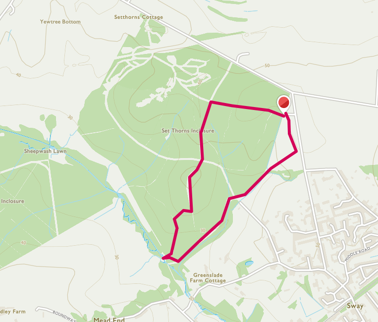
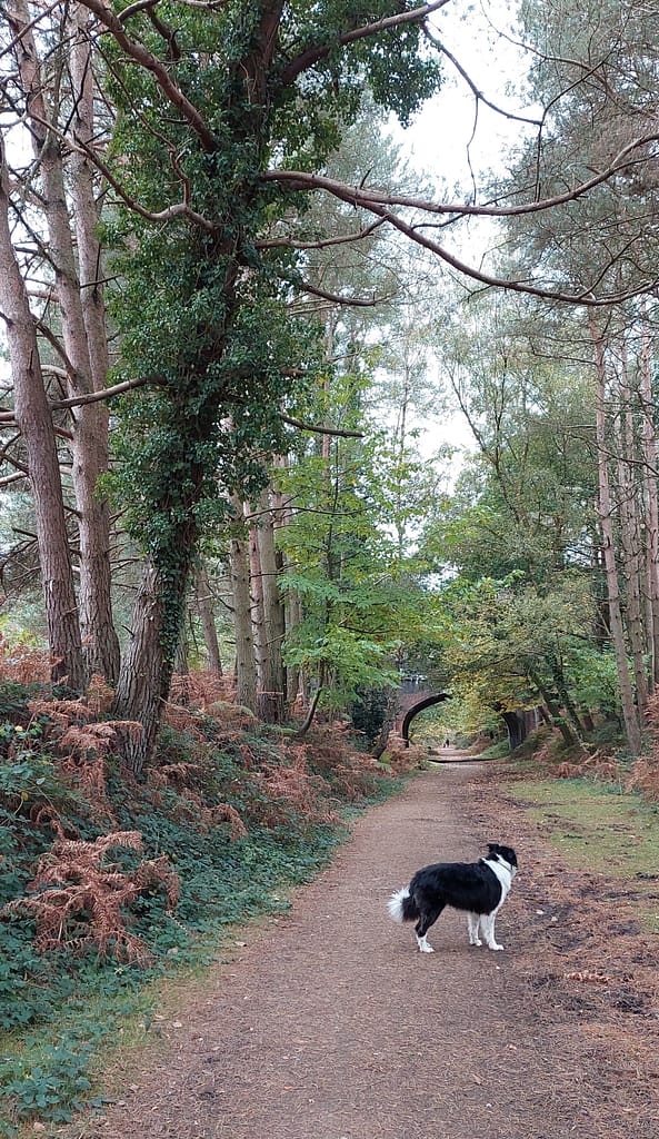
Our favourite route is to park at Longslade Bottom and walk under the disused railway bridge and along the path past Setthorns campsite. Then we turn left and come back in a circular walk ending across the road from the car park.
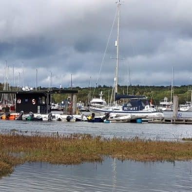
A diversion about halfway round down into the lower woods will lead to the Avon River and bridge with a path towards Sway. This can be very muddy in winter, if not flooded, but you may spot kingfishers in summer! It is also known on summer evenings as a god place to hear churring nightjars and to see stag beetles in flight.


Setthorns campsite is open all year round with pitches for campers and camper vans – there are electric hook-ups, but no toiler or shower facilities so campers need their own chemical toilet. Pets are welcome and the pitches are all in separate secluded woodland settings – looks very tempting as a place to stay.
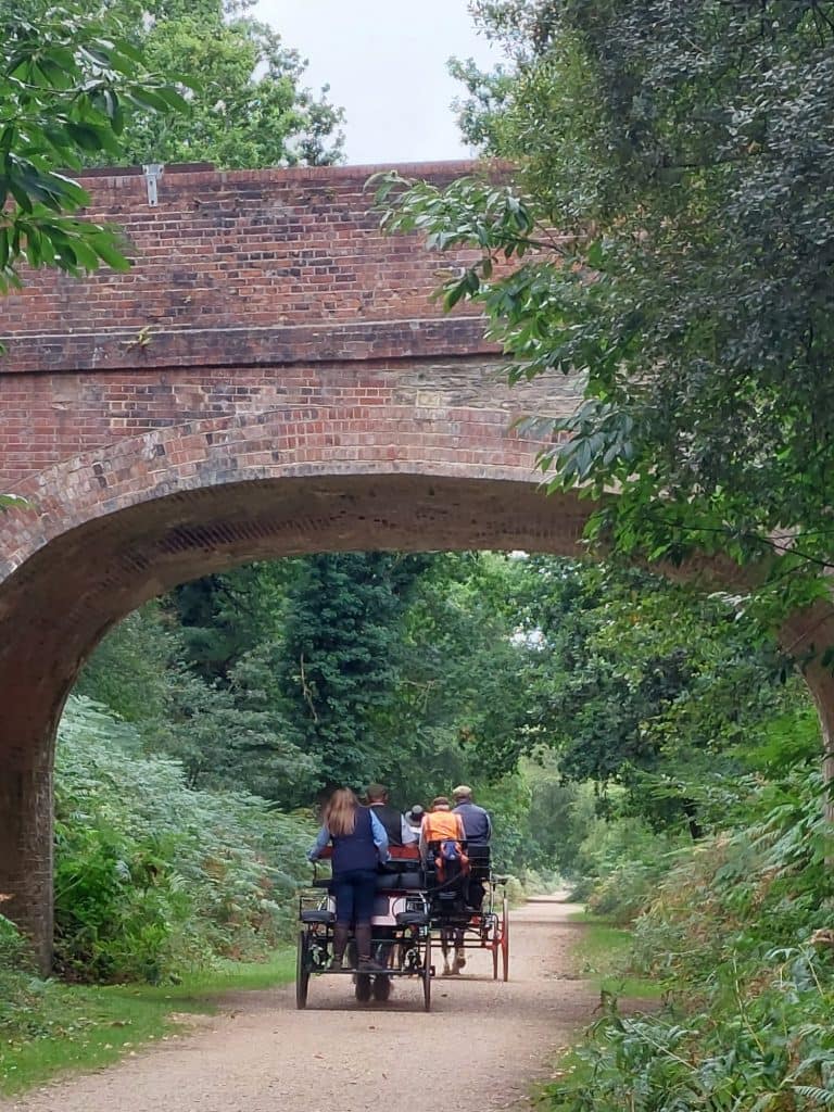
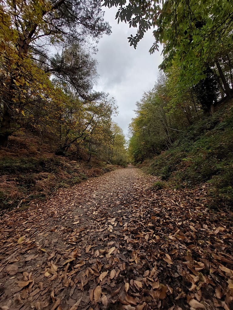
The disused railway track was once part of the Brockenhurst to Ringwood line and is a tranquil stroll – easy cycling for children and level walking. We have often seen deer along the path and on the steep banks. Paths lead off to explore other walks at Hag Hill, Yew Tree Bottom and Broadley. Some of the other gravelled tracks are steeper, but all wide and taking you through varied woodland and forest with plenty of fungi, wildflowers and many squirrels to look out for.