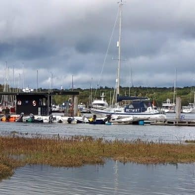
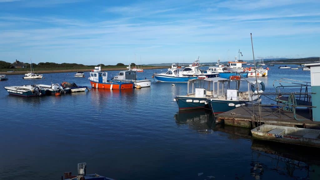
Coastal marshes, lagoons and former salt marshes. SO41 8AL. SZ381927 OS Map Walks of various lengths , or a large circular route, can be enjoyed from either end of the marshes at Lymington or Keyhaven.
Coastal marshes, lagoons and former salt marshes. SO41 8AL.
SZ381927 OS Map


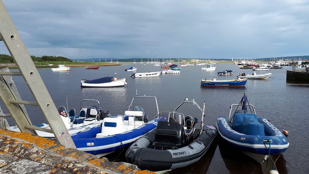
Walks of various lengths , or a large circular route, can be enjoyed from either end of the marshes at Lymington or Keyhaven. Access is also possible from many points along the routes e.g. Lower Pennington Lane, Lymington Quay and marinas. There is a car park at Keyhaven village. Buses run from Lymington via Milford an sea , which is a shorter walk to Keyhaven.


Wildlife
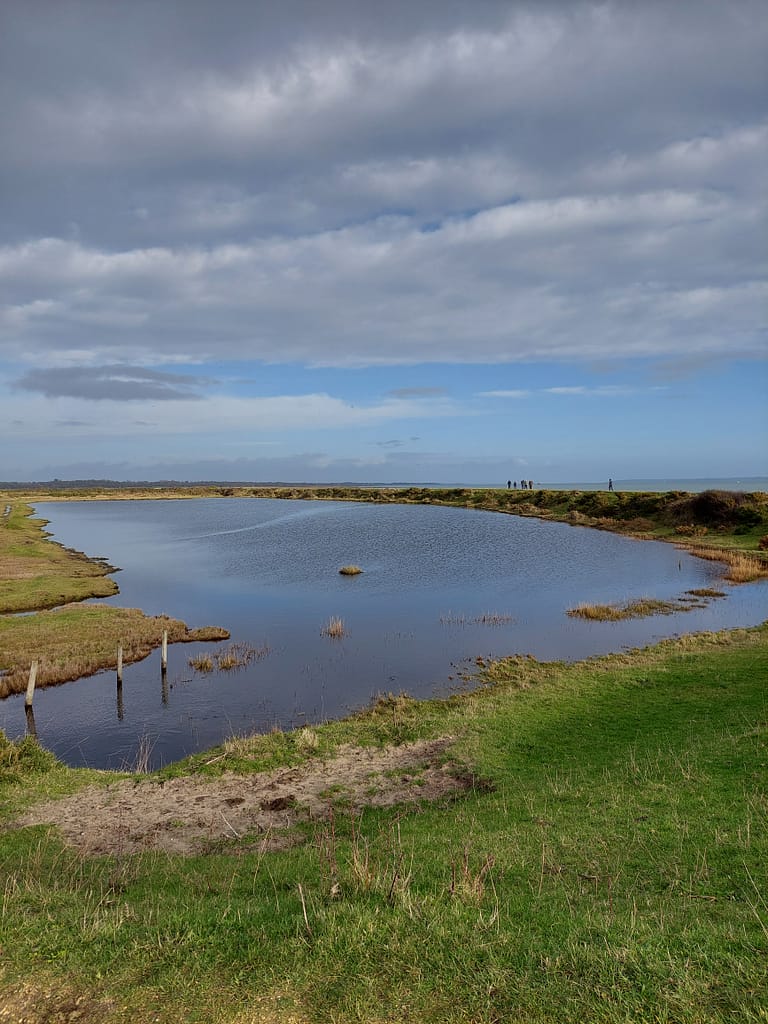
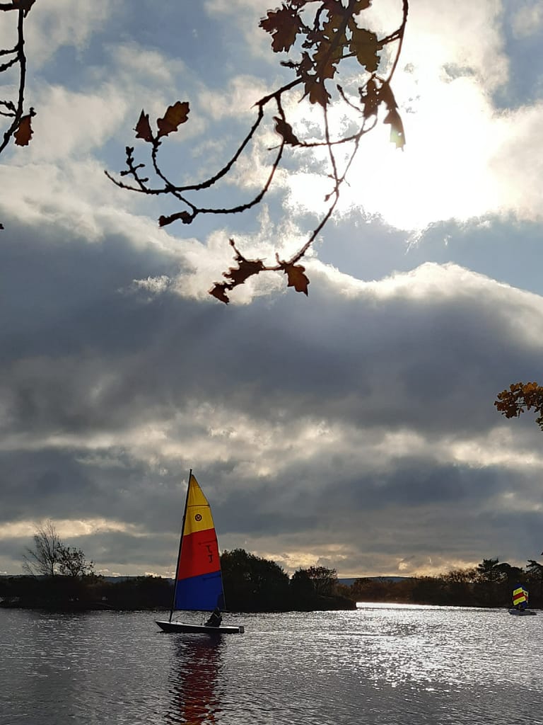
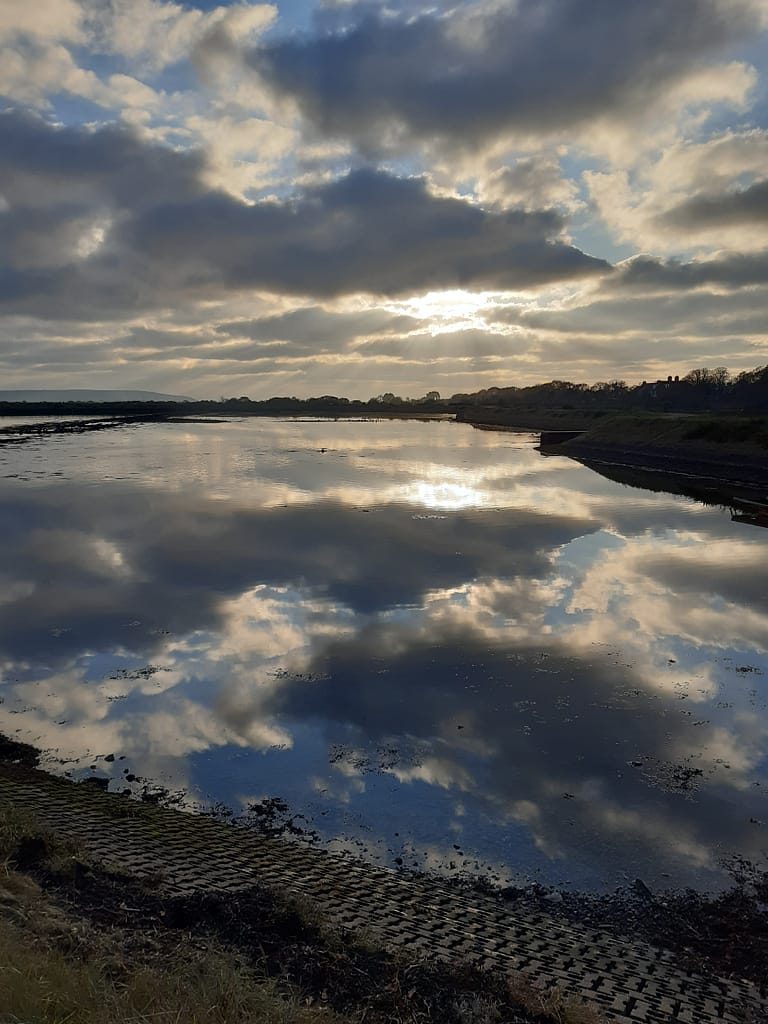
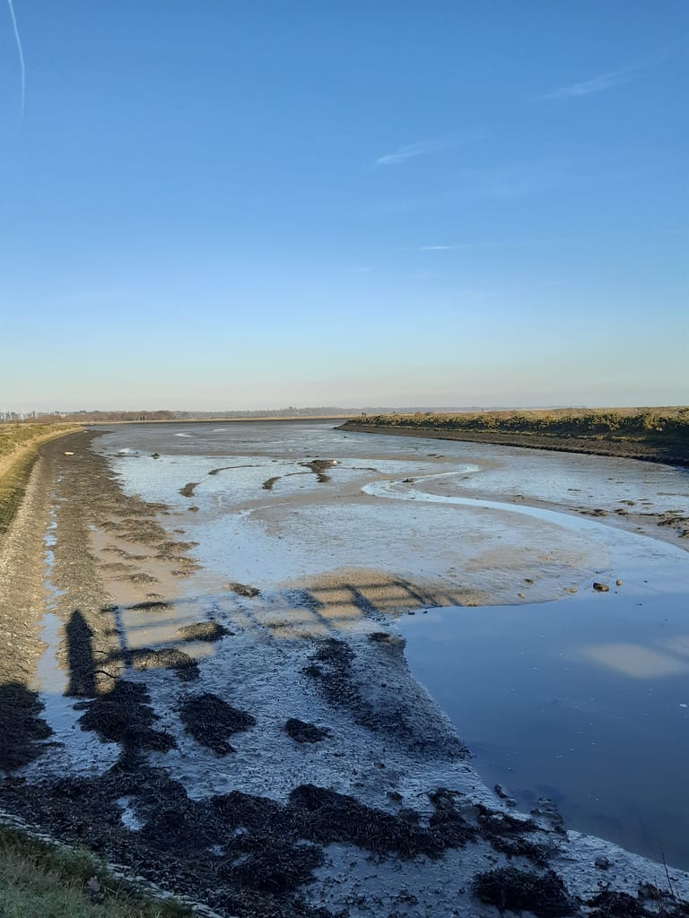
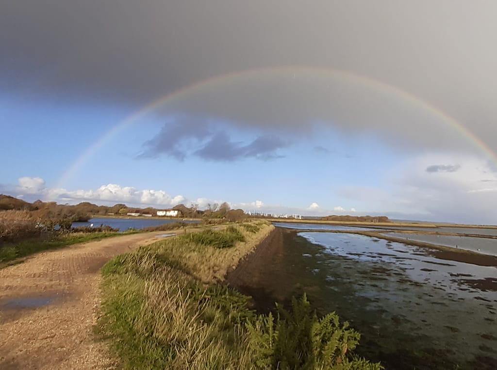
This Site of Special Scientific Interest now stretches from the mouth of the Lymington river all the way to Keyhaven. All the paths are level, but you may need stout boots or wellies in the winter months. You will stroll alongside or around a diverse mix of mudflats, salt marshes, shingle banks, coastal grazing land and saline lagoons, covering 1200 hectares in total.
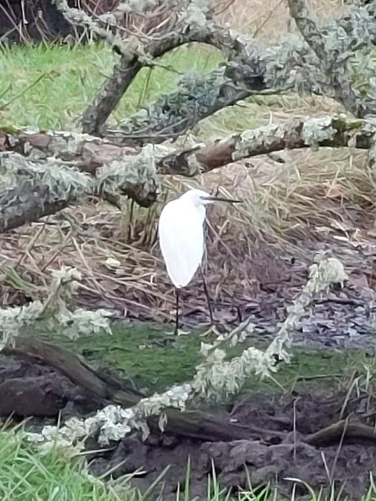
The land has been acquired piecemeal by Hampshire County Council since 1974 with an aim to preserve the rare and important habitat – most is now in the care of the Wildlife Trust . A new sea wall was constructed in the early 1990s to improve access and to prevent loss of this unusual environment – due to the mix of salt and freshwater, the lagoons host rare species such as the lagoon shrimp, starlet anenome, lagoon cockle and foxtail stonewort. Birds living here include the little egret, teal and tern as well as waders such as curlews, sandpipers, dunlin and little stirt.
Particularly rare are the diverse flora found at Iley Point and this in turn supports reed warblers and reed bunting. Gulls and cormorants abound and it is easy to see why this area attracts many serious birdwatchers. In winter, brent geese, wigeon, pintails and waders visit. Summer extras are swallows, wheaterars and more terns. Plant-lovers will also be enraptured by the sight of the yellow-horned poppies, sea campion and sea asters in abundance during warmer months. Overhead birds of prey hunt – harriers, peregrine falcons and merlins are commonly seen. if you are lucky, you may even spot a kingfisher too. A host of butterflies, dragonflies, hares and roedeer also thrive on the reserves.


History
700 years of salt-making created this unique environment – sea water was impounded in lagoons and allowed to evaporate over each summer in the 18th century there were 163 saltpans in this location . Salt was exported as far afield as newfoundland, Norway and the USA and the industry was finally abandoned in 1865. What remains are the best preserved relics anywhere of mediaeval and later salt workings with three of the the origianl docks intact – Moses, Maiden and Pennington. The earliest mention is in the Domesday Book of 1086, with the strong sunshine and low humidity creating the ideal conditions for successful salt-making. Any remaining water at the close of summer was burned off in boiling houses and the industry was at its height each summer for a period of 16 -22 weeks, depending on the weather. A series of increasing salt taxes , starting in 1694 gradually led to the reduction in workings and by 1826 only 14 saltpans were in operation. Incidentally, the workers were sometimes paid in salt, which is the origin of the word “salary”!
With the decline in the salt industry, locals turned to other seafaring trades such as commercial fishing and, for some time, part of the reserve area was ued for oyster beds. Lymington has always been a busy trading port and is also well-renowned for its shipbuilding skills too. What it was also famed for was smuggling and many local hostelries were busy with illicit trading.
Some of the tidal areas and surrounding land began to be used for grazing and this is still common today – horses and cattle are often in the field areas during summer months. Tourism is vital for the local economy now and the stunning views from the marshes and sea walls walks attract many visitors and wildlife enthusiasts. The Isle of Wight and the Needles can be clearly seen from the paths and the views across the Solent are wonderful at any time of the year.



The future
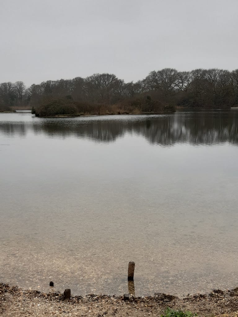
Recognition of the importance historically and environmentally of the salt marshes and surrounds continues to grow and work is under review to control water levels, the salinity of the waterways and the best use of grazing. There is concern about erosion due to wave action, lack of sediment, waterlogging, vegetation dieback and the impact of climate change on sea levels and tidal currents.
Increased erosion of the marshes has led to the Harbour Protection and Salt Marsh Retention Strategy which involves test areas being raised to the same levels as surrounds to slow the erosion. Investigating the challenges faced over the next centurya multi-agency strategy group has been set up and progress can be viewed on the website https://www.hurstspit2lymington.co.uk with regular public consulatations ongoing as part of its work. The coastline in question extends from Hurst spit , includes Pennington marshes and Keyhaven and goes to the Lymington river in the east, and is part of the New Forest National Park. The aim is to create a future acceptable to most while preserving the ecological balance and minimise flood risk.