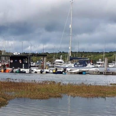
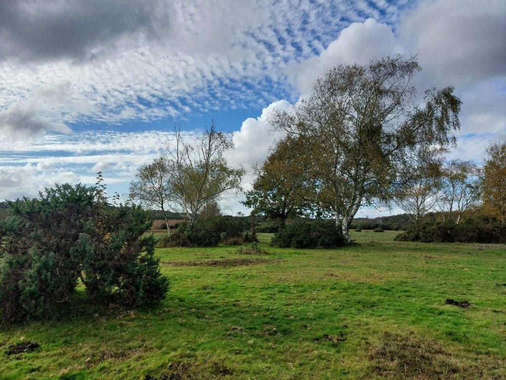
SO42 7UQ – less than one mile from village centre buses, parking and train station Wide gravel footpaths – North is also a cycle route Until World War 2 this area was just called the
SO42 7UQ – less than one mile from village centre buses, parking and train station
Wide gravel footpaths – North is also a cycle route
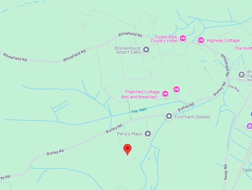
Until World War 2 this area was just called the Weirs, but since then has been named North and South. The watercourses and linked streams cross Brookley Road (Brockenhurst’s high street) at the ford known as the Watersplash. The Weirs stream meet the Ober and Blackwater streams and merge to become the Lymington River beyond the village.
During the 19th century some reconfiguration was undertaken to improve drainage, most notable by the owner of the Victoria Brick and Tile Works, Josiah Parkes.
Both areas are vital for wildlife, including heathlands, bogs and streams and varied vegetation surrounded by some agricultural usage.


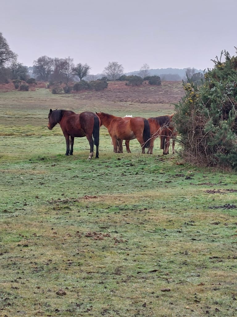


North and South Weirs both have linear settlements of late 19th and early 20th century homes – originally occupied by agricultural or forestry workers, but now sadly many are holiday cottages or air b and b rentals. A mix of brick, tile, slate, cob and thatch can be seen and the conservation area status has meant the any development or changes has been in keeping with the general appearance and sensitively managed. North Weirs has woodland, scrub, pasture and open heathland while the South is more open. Visually divided by a break of trees, both have wide gravelled tracks.
Walks of varying lengths can be enjoyed and link on to paths to Black Knowl, Aldridge, Puttles , Hinchelsea or across the golf club towards Setley.


To avoid walking along the road to access South Weirs, take the North Weirs path and turn right along very muddy path after the large house Thornacre – this will take you over a bridge and out onto road across from the South Weirs hamlet – look out for the postbox.